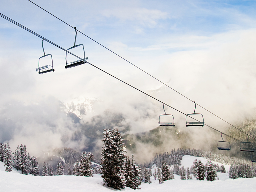
Looks like this year’s La Niña dry weather pattern isn’t going to be ruining anybody’s ski season. Last weekend, Jackson Hole Mountain Resort saw upwards of 30 inches of snow, leading to some incredible days to ski there. Unfortunately, I have been sidelined with a fractured kneecap and torn MPFL, but for anyone who had the foresight to plan for it, the weekend of 2/6 may have been 2021’s best thus far. Skiing and snowboarding enthusiasts are always chasing after those coveted “pow days”. Unless you live within a few miles of a ski resort, you’re most likely going to need to book your trip weeks in advance. When it comes to lining up your ski weekend with a winter storm, timing is everything.
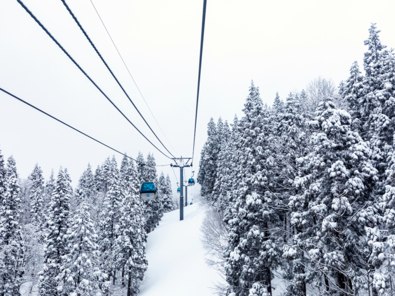
Weather is a notoriously difficult system to model. Ski resorts often have their own meteorology departments, and they report the expected precipitation for the next few days. While the ski resort website is an inherently biased place to get your forecast, they are reliable in reporting actually accumulated snowfall. The snow stake cams and live-feed of resort conditions can tell you the exact mountain conditions right now. This type of report is great if you’re already on your way to the mountain, but it isn’t particularly helpful if you’re trying to decide when to book your stay.
As you would expect, the organization with the most advanced modeling delivers the most precise forecasts. The authority of weather forecasting in North America is the National Oceanic and Atmospheric Administration, NOAA. Their computing infrastructure and network of weather stations allow for complex numerical weather prediction models like the Global Ensemble Forecast System (GEFS) that are consistently accurate for short-term predictions of weather patterns. One type of ensemble called Percentile Quantitative Precipitation Forecasts (PQPF) offers up to a 3-day forecast. Checking this NOAA report will surely give you a more accurate forecast than just checking on the website of your favorite ski resort. While a 3-day notice might be enough time to book your mountain condo, for the specific purpose of timing a snowstorm, there is a better indicator.
NOAA operates a 3-meter foam buoy northwest of Hawaii called station 51101. The station is a floating scientific instrument, constantly taking measurements to report to the Meteorological Assimilation Data Ingest System. These specific measurements have a limited effect on the PQPF snow forecasts, but station 51101 has still been named the Powder Buoy. Evidently, when this buoy records a large vertical displacement, a “buoy pop”, you can expect a snowstorm to hit the Rocky Mountains in approximately 2 weeks. This method might sound like a coincidence rather than a proper forecast, but I believe it is just as useful as more complex models. The 51101 forecast is not witchcraft; the notion that a unique Pacific Ocean swell can cause weather patterns resulting in a snowstorm 2 weeks later is entirely plausible. Where GEFS models are grounded in fundamental laws of classical physics like conservation of energy and the ideal gas law, the Powder Buoy projection is loosely grounded in atmospheric science. Yes, it is much less sophisticated than any other weather forecast model, but it may be the superior tool for what it is attempting to do.
PQPFs report probabilities for precipitation in increments as specific as a quarter inch. While the high standards of these predictions result in a more precise forecast, they restrict the ability of the model to predict snow further in advance. Precipitation patterns can ultimately be affected by a single atmospheric molecule, making them highly susceptible to the butterfly effect. The Powder Buoy forecast is not restricted by the need for precision; it is only expected to predict the general outcome of a snowstorm. Therefore, this method is not required to account for all the possible perturbations that could influence a weather system, allowing for a longer-term prediction. If you are willing to sacrifice some precision in the amount of snow to expect in exchange for more time to plan, the Buoy Pop forecast might be the superior tool.